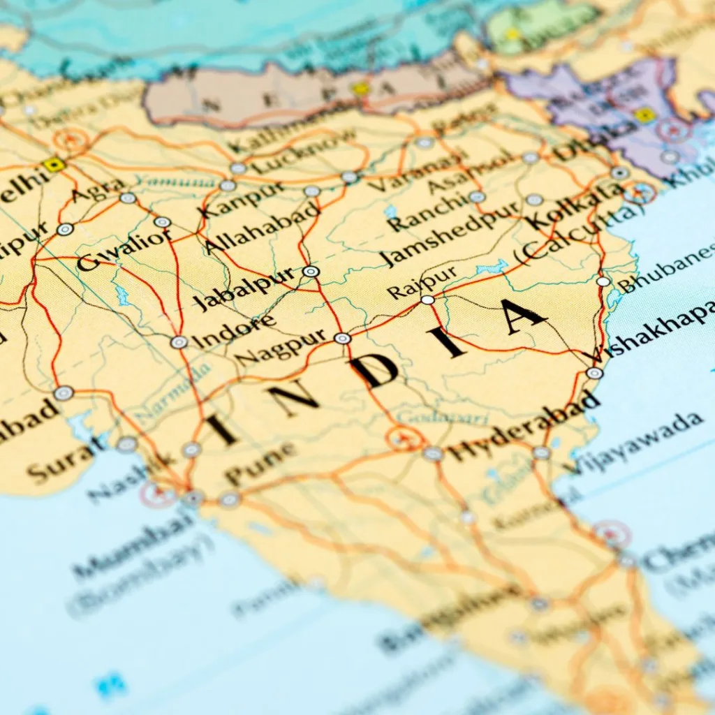
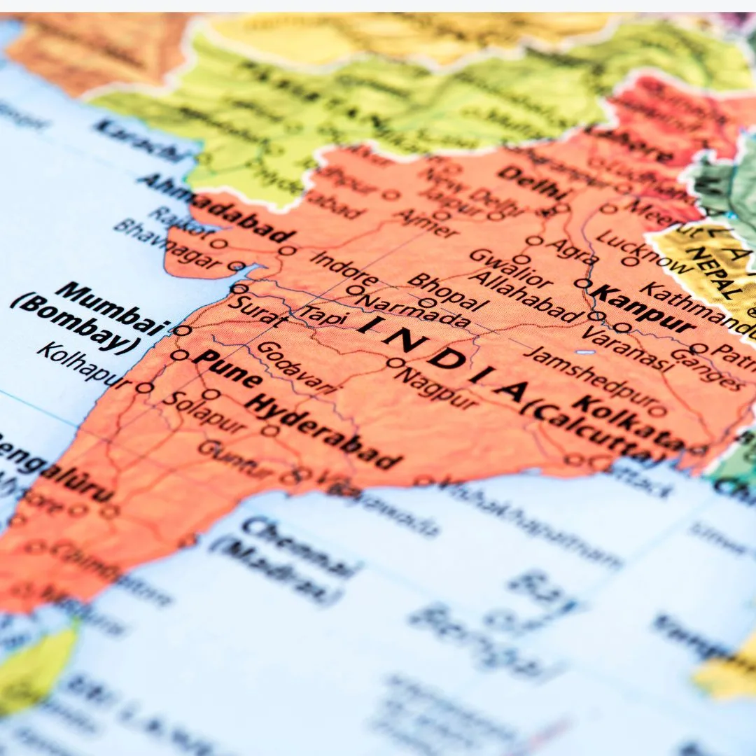
India´s Political Divisions
About two centuries of British rule left India fragmented into nine British provinces and 562 small princely states at the time of independence in 1947. The constitution of India was adopted with the establishment of the Democratic Republic of India on 26th Jan 1950 and India was recognized as the Union of States.
India´s Political Divisions: After Independence, the country was recognized by merging various princely states states and other states:
- States of the ´A´ category which included Uttar Pradesh, west Bengal, Assam, Orissa, Madhya Pradesh, Madras (Tamil Nadu and Andhra Pradesh), Bombay (Maharashtra and Gujarat. These were governed by the governor.
- States of category ´B´ include central India, Mysore (present Karnataka), Saurashtra, Rajasthan, Hyderabad, and Travancore-Cochin. These were governed by the states.
- The states of the ´C´ category included Ajmer, Kutch, Coorg, Delhi, Bilaspur, Bhopal, Tripura, Himachal Pradesh, Manipur and Vindya Pradesh, governed by Lieutenant Governors.
- States of the ‘D’ category included Andaman and Nicobar Island, governed by the central government.
India´s Political Divisions States Reorganization Commission
The above classification lacked economic viability or sustainable administrative machinery and did not represent the unity of the nation. The Indian government derived a mechanism based on such considerations as distinctive regional, linguistic, cultural, and economic characteristics.
With the background and growing demand for the creation of linguistic states, the first linguistically based Andhra state was created by separating Telgu-speaking areas from the composite Madras state on October 1, 1953. Telangana area was added to Andhra state and Andhra Pradesh was formed on November 1, 1956.
The formation of the Andhra state in 1953, quickly sparked a renewed demand for political recognition by other linguistic and cultural groups. This led to the appointment of the state’s Reorganization Commission in December 1953. The commission submitted its report on 30th September 1955, recommending the reorganization of India into 16 states and 3 territories.
The government accepted the major part of the report but proposed the reorganization of India into 15 states and 7 territories. Finally, the parliament passed the States Reorganization Act, 1956 reorganizing India into 14 states and 6 Union territories as of 1st November 1956.
India’s Political Divisions Post-Reorganization Changes
The Reorganization of the states as per recommendations of the States Reorganization Commission could not meet the aspirations of the people living in different parts of the country and pressing demands have been made from time to time for readjustment of politics-territorial units on linguistics, ethnic, and cultural grounds. The trend had been towards creating more states thereby leading to division and fragmentation of the existing states.
With the recommendations of the States Reorganization Commission implemented with little modifications, the erstwhile bilingual province of Bombay was bifurcated into Gujrati-speaking Gujarat and Marathi-speaking Maharashtra on 1st May 1961.
The Portuguese colonies of Goa, Daman, and Diu were the last remnants of the European occupation of India. These were liberated from the foreign yoke and they became part of India on 16th December 1961. This completed the territorial integration of the Indian Union.
Several new states have been carved out in the northeastern region of the country in response to demands by the tribal. In 1957 the northeastern part of Assam was separated and was designated as the North-East Frontier Agency. The Naga Hills territory was a centrally administered area and was known as the Naga Hills Tuensang Area.
It was renamed Nagaland in 1961 and was given the status of state in December 1963, Manipur became a Union territory under the States Reorganization Act of 1956 and was made a full-fledged state of the Union in 1972. Meghalaya was created as an autonomous state within the state of Assam on 2nd April 1970. The full-fledged state of Meghalaya came into existence on January 21, 1972.
Sikkim ceased as a protectorate of India in 1974 and became an Associated State of India thereafter. It became an integral part of India as a result of the referendum held on April 14, 1975. The North-Eat Frontier Agency was given the new name of Arunachal Pradesh and was granted full statehood on February 20, 1987.
Turning again to the south, it is worth mentioning that Mysore state, created in 1956, was renamed Karnataka in 1973 on the demand of the Kannada-speaking majority of the area. Goa which was liberated in 1961 was conferred statehood on May 30, 1987, although Daman and Diu remain as union territory.
In the north-western part of the country, the bilingual state of Punjab was divided into Punjabi-speaking Punjab and Hindi-speaking Haryana on 1st November 1966. Thus the new state of Haryana was born on this date. Certain hill areas of erstwhile Punjab were transferred to Himachal Pradesh. It was granted full statehood on January 25, 1971.
Three new states came into being on November 1, 2000, as the 26th state of the union to fulfill the long-cherished demand of the tribal people. The hill areas of Uttar Pradesh were separated to form a new state of Uttaranchal on November 9, 2000.

The largest state of the Indian Union is Rajasthan with an area of 3,42,239 sq. km. Rajasthan, Madhya Pradesh, and Maharashtra have an area of more than three lakh sq. km. each and these states account for about thirty percent of the total area of the country. On the other hand, Goa is the smallest state with an area of 3,702 sq km only. Except for Arunachal Pradesh and Assam, most of the northeastern states are of a small size.
India´s Political Divisions
From an administrative point of view, Uttar Pradesh has the largest number of 71 districts whereas Goa has only two districts. Demands to create new states, especially from the Telangana region of Andhra Pradesh, Vidarbha region of Maharashtra, and western Uttar Pradesh are gaining momentum. Their fate will depend upon the geopolitical situation of the country.

