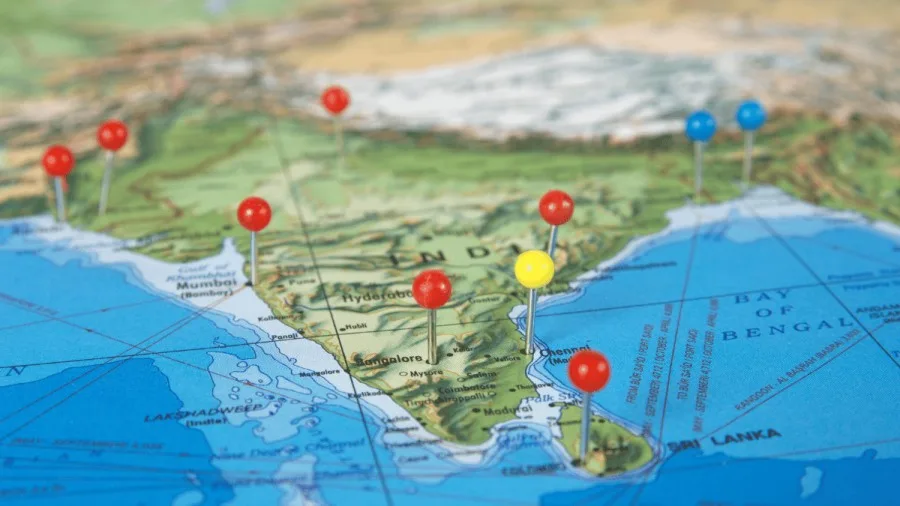
THE COASTAL PLAINS
The coastal plains of India have a narrow strip between the edges of the peninsular plateau and the coastline of India running for a distance of about six thousand kilometers from Rann of Kuchchh in the west to the Ganga- Brahmaputra delta in the east is called coastal plains. The area between the Western Ghats and the Arabian Sea coast is known as the West Coastal Plain and that between the Eastern Ghats and the Bay of Bengal is called the East Coastal Plain.
THE WEST COASTAL PLAINS
The west coast extends from Konkan to Kanyakumari from North-South, the west coast is narrow as Western Ghat is close to the coastline, with an average width of about 65 km.. The west coast is dominated by swift rivers which originate from Western Ghat and flow to the Arabian Sea. This river forms an Estuary on the west coast.
In the north of the Kuchchh peninsula, there lays a broad level of salt-soaked plain. The southern continuation, known as the Little Rann lies on the coast and south-east of Kuchchh.
The Kathiawar Peninsula lies to the south of the Kuchchh. The central part is a highland of Mandav hills from which small stream Hills from which small streams radiate in all directions.
The Gujarat Plain lying in the east of Kuchchh and Kathiawar slopes towards the west and southwest.
The Konkan coast extends from Daman to Goa. It is a submergence coast thus, it has many natural seaports. The Karnataka coast extends from Goa to Mangalore. In some places, the streams originating in the Western Ghat descend along steep slopes and make waterfalls.
The Malabar Coast also known as Kerala Plain is an emerging coast it is dominated by coastal lagoons which are called backwaters/Kayal.
EAST COASTAL PLAINS
The East coastal plains extend from the Subarnarekha River along the West Bengal-Orissa border to Kanyakumari. A major part of the plain is formed as a result of the alluvial fillings of the littoral zone by the rivers Mahanadi, Godavari, Krishna, and Cauvery comprising some of the largest deltas. In contrast to the west coastal plains, these are extensive plains with an average width of 120km although it may be as wide as 200 km in the deltaic regions and as narrow as 35 km in between the deltas. Depending upon physiographic variations, the entire plain is divided into three regions.
The Utkal Plain comprising the coastal plains of India or coastal areas of Orissa is about 400 km long. The most prominent physiographic feature of this plain is the Chilka Lake in the south of the Mahanadi delta.
The Andhra Plain lies south of the Utkal Plain and extends up to Pulicat Lake, some 40 km north of Chennai. The most significant feature of this plain is the delta formation by Krishna and Godavari. In fact, two deltas have merged with each other and formed a single physiographic unit. Andhra Plain has a straight coast and badly lacks good harbors with the exception of Vishakhapatnam and Machilipatnam.
The Tamil Nadu Plain stretches from Pulicat Lake to Kanyakumari along the coast of Tamil Nadu. The most important feature of this plain is the Cauvery Delta. The fertile soil and large-scale irrigation facilities have made the Cauvery Delta the granary of south India.
Significance of the Coastal Plains
Large parts of the coastal plains of India are covered by fertile soils on which different crops are grown. Rice is the main crop in these areas. Coconut trees grow all along the coast. The entire coast is dotted with the big and small ports which help in carrying out trade. Fishing is the most important occupation of the people living in coastal areas. Low-lying areas of Gujarat are famous for producing salt.


1 thought on “Coastal Plains of India Exploring the Beauty”