
THE PENINSULAR PLATEAU
The peninsular plateau is the oldest geological structural and physiographic region of India. it is the continental part of the Indian plate which emerged from the sea during the Cambrian period. During the Cretaceous period, two most important geological events occurred in the Indian Peninsula. The northern boundary of the peninsular block is an irregular line running from Kachchh along the western flank of the Aravali range near Delhi and hence, roughly parallel to the Yamuna and Ganga. The entire peninsular plateau is an aggregation of several smaller plateaus and hill ranges. Below are brief descriptions of these plateaus and hills.
The Peninsular Plateau of India is subdivided into the following:
THE MARWAR UPLAND- This is also called the Upland or eastern Rajasthan as it lies in the east of the Aravali Range. The average elevation of this area is 250-500 m above sea level and it slopes down eastwards. It is made up of sandstone, shales, and limestones of the Vindhyan period.
THE CENTRAL HIGHLAND– This is also called the Madhya Bharat Pathar is in the east of the Marwar Upland. Most of it comprises of the basin of the Chambal River which flows in I rift valley. Thick forests grow here.
THE BUNDELKHAND UPLAND– to the south of the Yamuna River between the Madhya Bharat Pathar and the Vindhyan Scarp lands. The average elevation is 300-600 m above sea level, this area slopes down from the Vindhyan scarp toward the Yamuna River.
THE MALWA PLATEAU- This plateau is bounded by the Aravali Range in the west and Bundelkhand in the East. This plateau has two drainage systems: one towards the Arabian Sea (Narmada, Tapi, and the Mahi) and the other towards the Bay of Bengal (Chambal and Betwa) joining the Yamuna.
THE BAGHELKHAND- It covers an area of about 1.4 Lakhs sq. km., It is bounded by the Son River on the north, and to its south occur anticline highlands and synclinal valleys of limestone and sandstones. The central part of the plateau acts as the water divides between the Son drainage system in the north and the Mahanadi River system in the south.
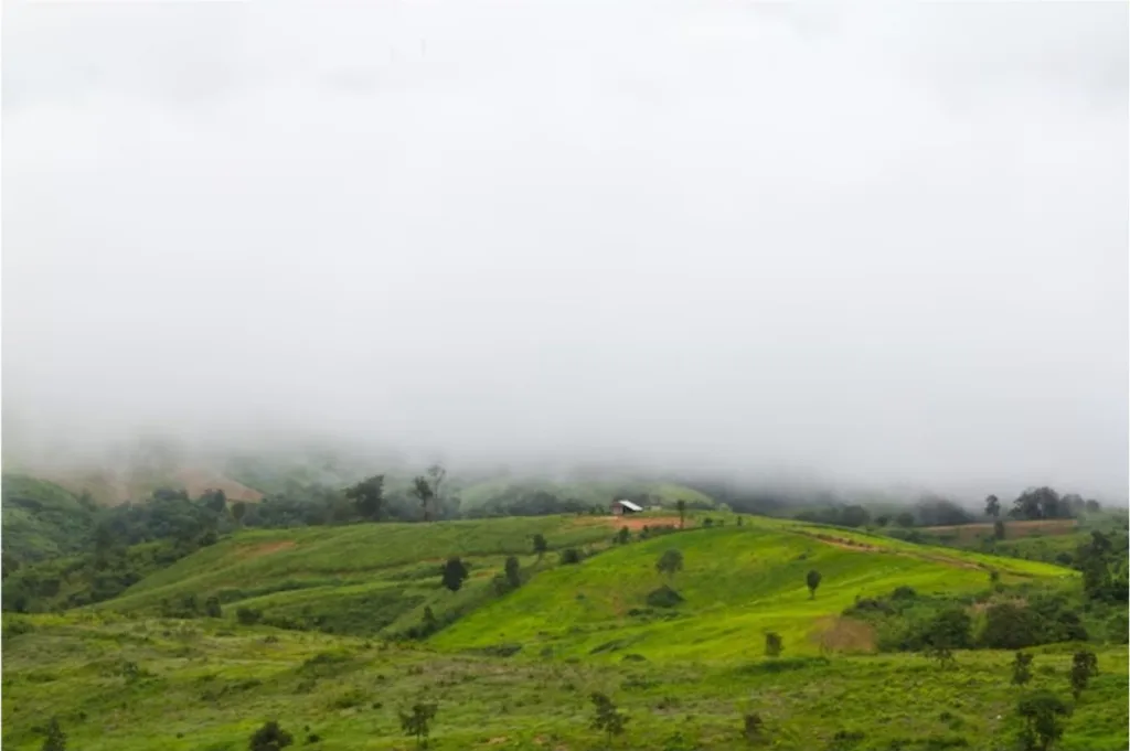
THE CHOTANAGPUR PLATEAU- The Chotanagpur Plateau represents the northeastern projection of the Indian Peninsula. It covers an area of over 87 thousand sq. km. mostly in Jharkhand, the northern part of Chhattisgarh and Purilia district of West Bengal. Son River flows in the northwest of the plateau and joins the Ganga.
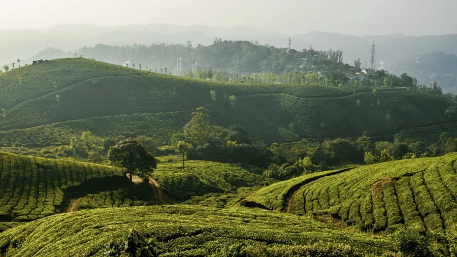
THE MEGHALAYA PLATEAU- This area extends over 35 thousand sq. km. The plateau slopes down to the Brahmaputra Valley in the North and the Surma and Meghna Valleys in the South. The western, central, and Eastern parts of the plateau are known as Garo Hills, Khasi-Jaintia Hills, and Mikir Hills respectively.
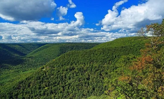
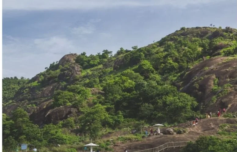
THE DECCAN PLATEAU- This is the largest unit of the peninsular plateau of India covering an area of five lakh sq. km. This is bounded by the Satpura and Vindhya in the northwest, the Mahadev and Maikal in the north, Western Ghat in the west, and Eastern Ghat in the east.
Hill Ranges of Peninsular Plateau
Hill ranges of the peninsular plateau have the following sub-division:
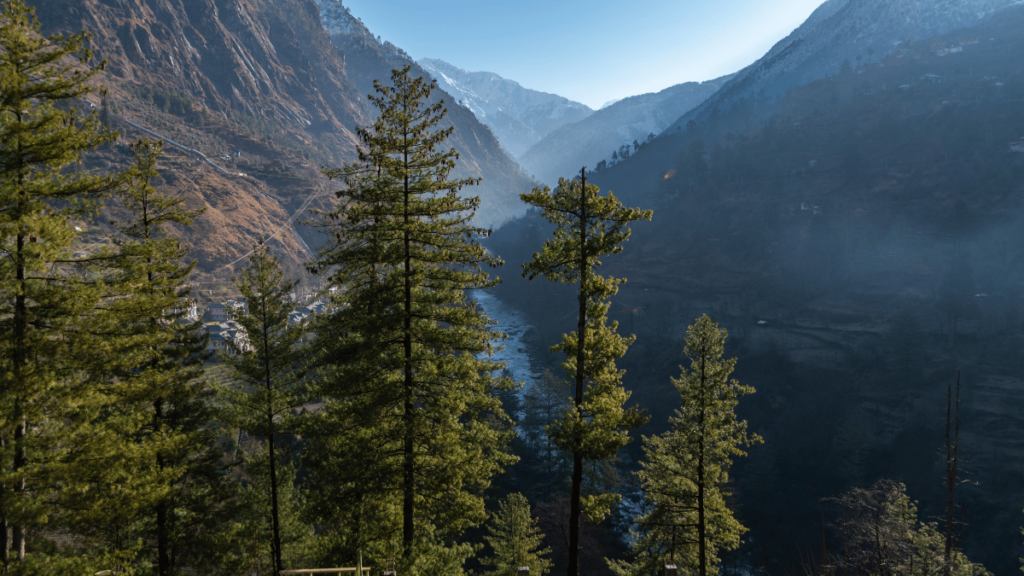
ARAVALI– It extends from northeast to southwest for about 800km from Delhi-Gujarat. It is the oldest fold mountain in the world. Gurushikar is the highest peak of the Aravali. It is 1722 Mtrs and it is in Rajasthan. Aravali is the water divide between Indus and Gangetic drainage systems westward of Aravali, The dry regions of Western Rajasthan and Gujarat are drained by the Luni River.
VINDHYAN– It extends from the west-east from Gujarat to Bihar, in Bihar, it is known as Kaimur. Its altitude is 300-600 Mtrs. Geologically it is similar to Aravali. It is a water divide between the Himalayan and Peninsular rivers.
SATPURA MOUNTAIN– Satpura is Block Mountain located between Narmada and Tapi. Its formation is associated with the faulting of the rocks and subsequent upward movement.
WESTERN GHAT- Western Ghat extends for 1600km from N-S all along enclosed to the western coast from Tapi-Kanyakumari. It is called Shyadri in Maharashtra and Karnataka, Nilgiri in Kerala, and Tamil Nadu. Annamalai is the highest peak of Western Ghat.
EASTERN GHAT- Eastern Ghat is a group of dissected hills by east-flowing peninsular rivers. Eastern Ghat joints Western Ghat at Nilgiri. Part of the Indian Peninsula located between Eastern and Western Ghat is known as the Deccan Plateau.